
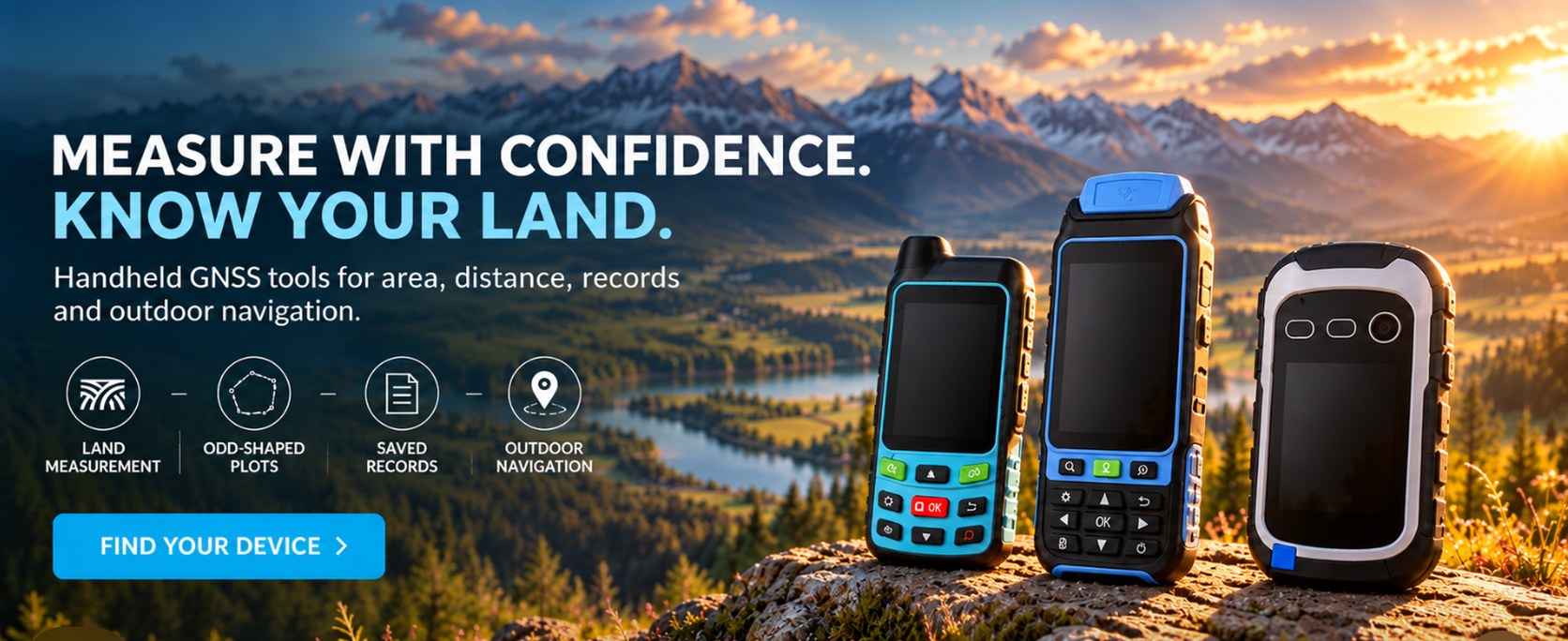
Measure with confidence. Know your land.

Choose your model
Three devices. One goal.


Why land measurement goes wrong

What you gain with the right GNSS tool

How it works

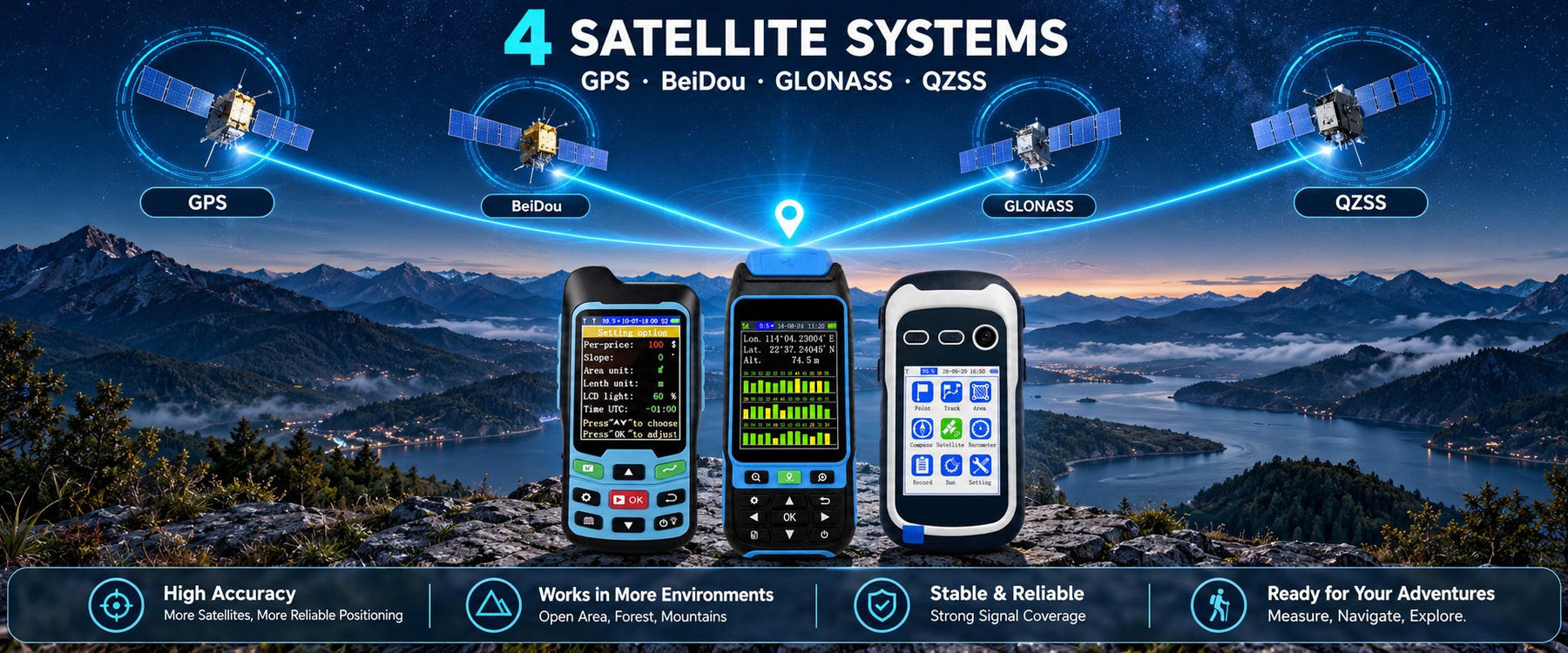
Four satellite systems

Buying guide

Where it works


User reviews
What users say after measuring with it
Real estate agents, contractors, landowners and land managers on what they use it for.


Good to know
Questions, answered
The things people ask before they buy - including the honest limits.
Does it work indoors, under trees or between tall buildings?
No. All three models need a clear, open view of the sky. Indoors, dense tree cover and tall buildings block the satellite signal, so switch the device on outdoors and give it a few minutes to lock on.
Is it waterproof?
SC08 is rated IP67, dust-tight and protected against temporary immersion. CM84 and NB88 are not waterproof - keep them away from water and rain, and store them dry.
Which satellite systems does each model use?
CM84 and NB88 track GPS, BeiDou, GLONASS and QZSS. SC08 tracks BDS, GPS, GLONASS and Galileo across 128 channels. Every model receives four systems at once, but the combination differs by model.
Can I measure a figure-eight route?
No. The walked path must not cross itself or the area result will be inaccurate. Continuous, non-crossing routes are fine, including irregular shapes such as woodland edges and curved field boundaries.
Which units does it support?
Area: square metres, square feet, acres and hectares. Length: metres, feet, kilometres and miles. Switch between them in the settings menu.
Can I get the data onto my computer?
Yes. Connect the device over USB - the computer sees it as a USB drive - then copy the CSV files across for your own records, spreadsheets or accounting.
What is the difference between CM84 and NB88?
CM84 measures area, distance and land value with nine keys, and is the model with a documented two-point straight-line distance. NB88 keeps all of that, then adds slope and height measurement with a built-in barometer, five measurement modes and twelve keys.
Why does slope measurement show no result?
Start at the bottom of the slope and walk to the top, and keep the horizontal distance between the two points longer than ten metres. Slope and height readings are for reference only and are not saved to a record.
What makes SC08 different from the two land meters?
SC08 is an outdoor navigator rather than a higher-grade land meter. It adds waypoint collection, P-Navi point navigation, T-Navi track-back, an electronic compass, multiple coordinate systems and IP67 sealing - useful when you are working somewhere with no path at all.